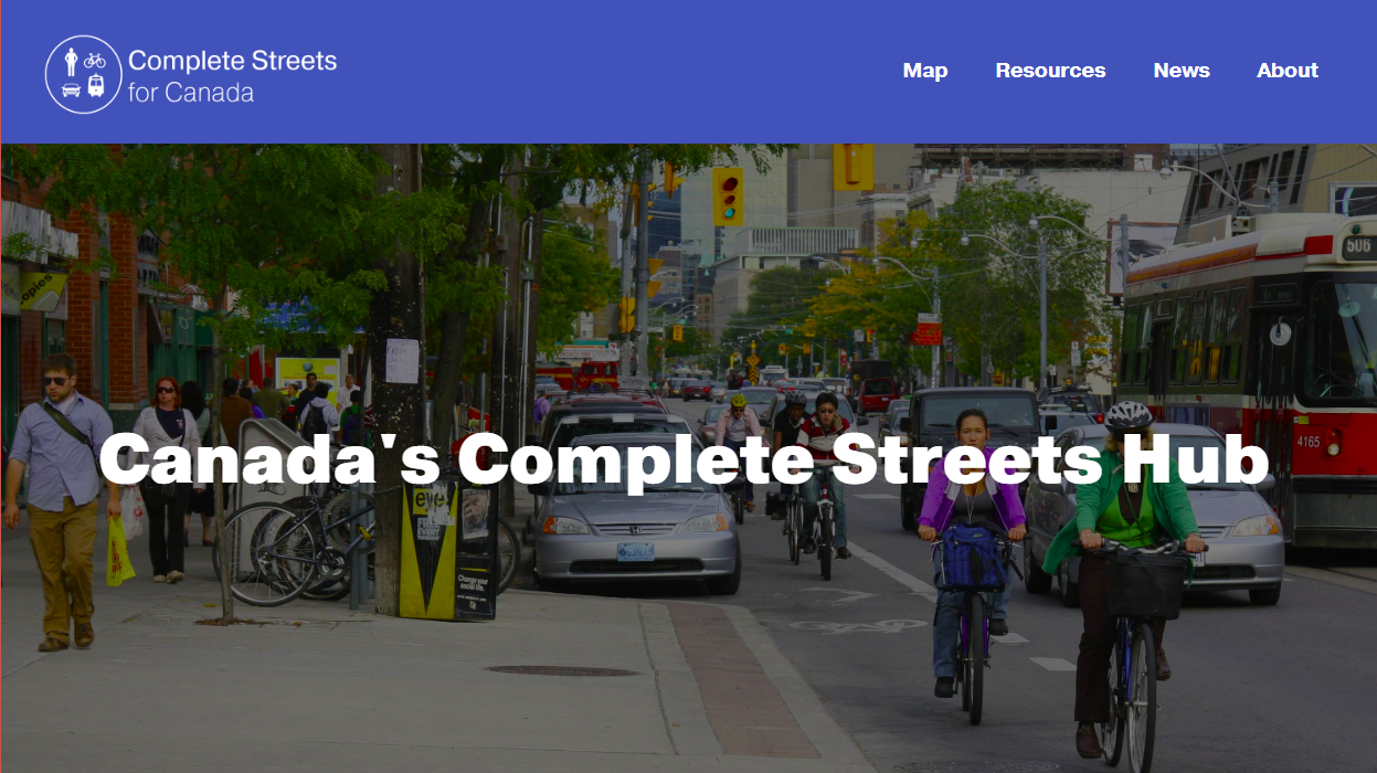
We are very excited to announce the re-launching of our Complete Streets for Canada website. First launched in 2012, this online hub is a “go-to” resource for Canadian Complete Streets policy, design, case studies, and research.
Where are Complete Streets?
The website’s most popular feature is its map of Canada, which tracks the adoption of Complete Streets policies across the country. It acts as an invaluable tool for policy-makers, transportation professionals and advocates looking for examples of how Complete Streets have been implemented elsewhere. When the website first launched, so few Complete Street policies existed in Canada that we mostly only tracked Complete Street “approaches” – that is, instances of transportation policy language that talked about designing for all ages and abilities but didn’t explicitly mention Complete Streets.
Now, only seven years later, we have seen this concept take off across the country, and many of those “approaches” are now true Complete Streets policies. We have over 80 entries on our map, and with the help of volunteers and student interns, we are continually adding more.
How are Complete Streets Being Adopted?
With so many policies out there, we have added a new feature to our website to help people navigate them more easily. All of the policies have now been categorized according to the tool used to enact them, be that through a transportation plan, an active transportation plan, a land use or strategic plan, a sustainability plan, or a set of guidelines and standards. We’re finding that Complete Streets policies are most often included in a transportation plan or land use plan, such as a municipal official plan. Guidelines and standards are becoming increasingly common, though, which is a good sign for implementation.
We are also seeing productive collaborations of local and regional public health authorities releasing statements or recommendations in support of a Complete Streets policy being considered by a municipality. We are only beginning to track these recommendations, but so far, it’s an encouraging trend.
Complete Street Resources
The website also houses resources from the research TCAT has done over the past decade on Complete Streets, such as Complete Streets Transformations and the Complete Streets Evaluation Tool. Another popular resource is the Complete Streets Game. In April 2018, we released a new edition of this engagement tool, and it sold out in less than six months. We are currently preparing the next edition, so if you’re interested in purchasing one, email us to get your name on the waiting list.
A big thank you to Chad Mohr, our intrepid web designer, Jiya Benni, Hannah Galloway, Kai Zhou, and all the volunteers who have worked on this site over the years. Tracking anything across our vast country is a major undertaking, and we couldn’t do it without your help!
